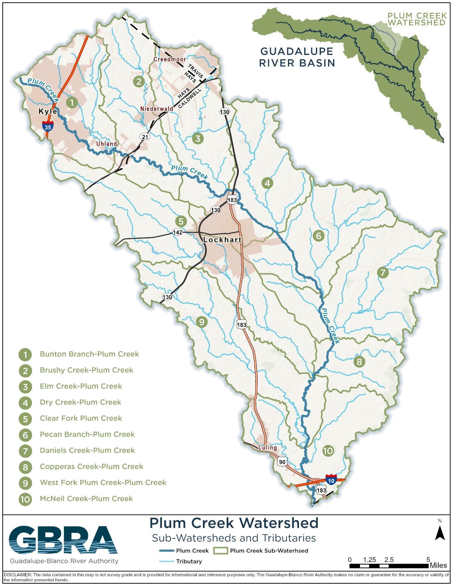
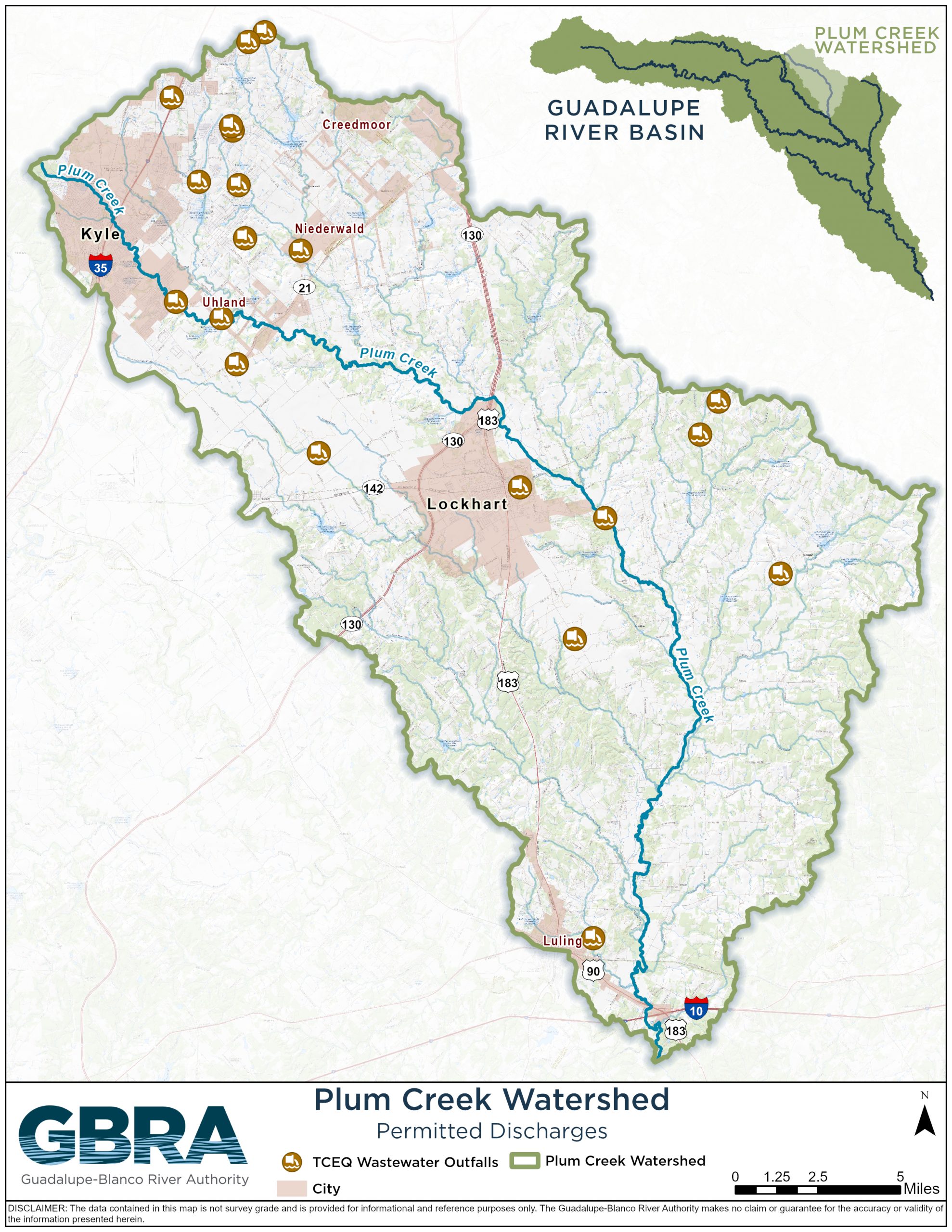
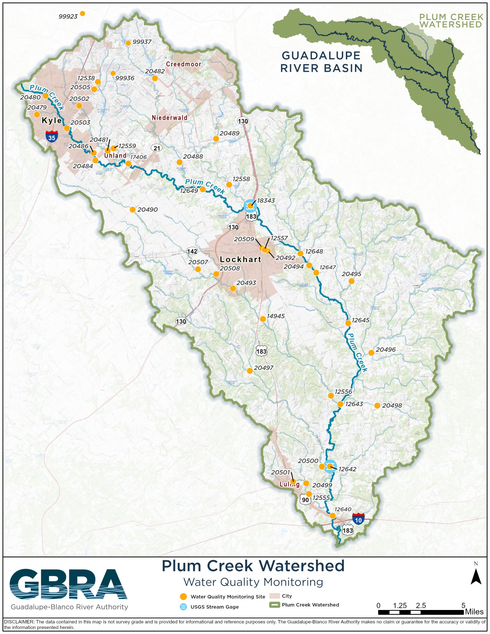
Plum Creek is a 52-mile stream that begins in Hays County north of Kyle and flows southeast through Caldwell County, passing Lockhart and Luling before meeting the San Marcos River near the Caldwell-Gonzales County line.
Additional flow comes from Clear Fork, West Fork, Bunton Branch, Town Branch, Salt Branch, and other small streams. Plum Creek and its tributaries drain an area of 397 square miles. Other municipalities with all or part of their city limits within the watershed include Buda, Niederwald, Uhland, Mustang Ridge, and Mountain City.
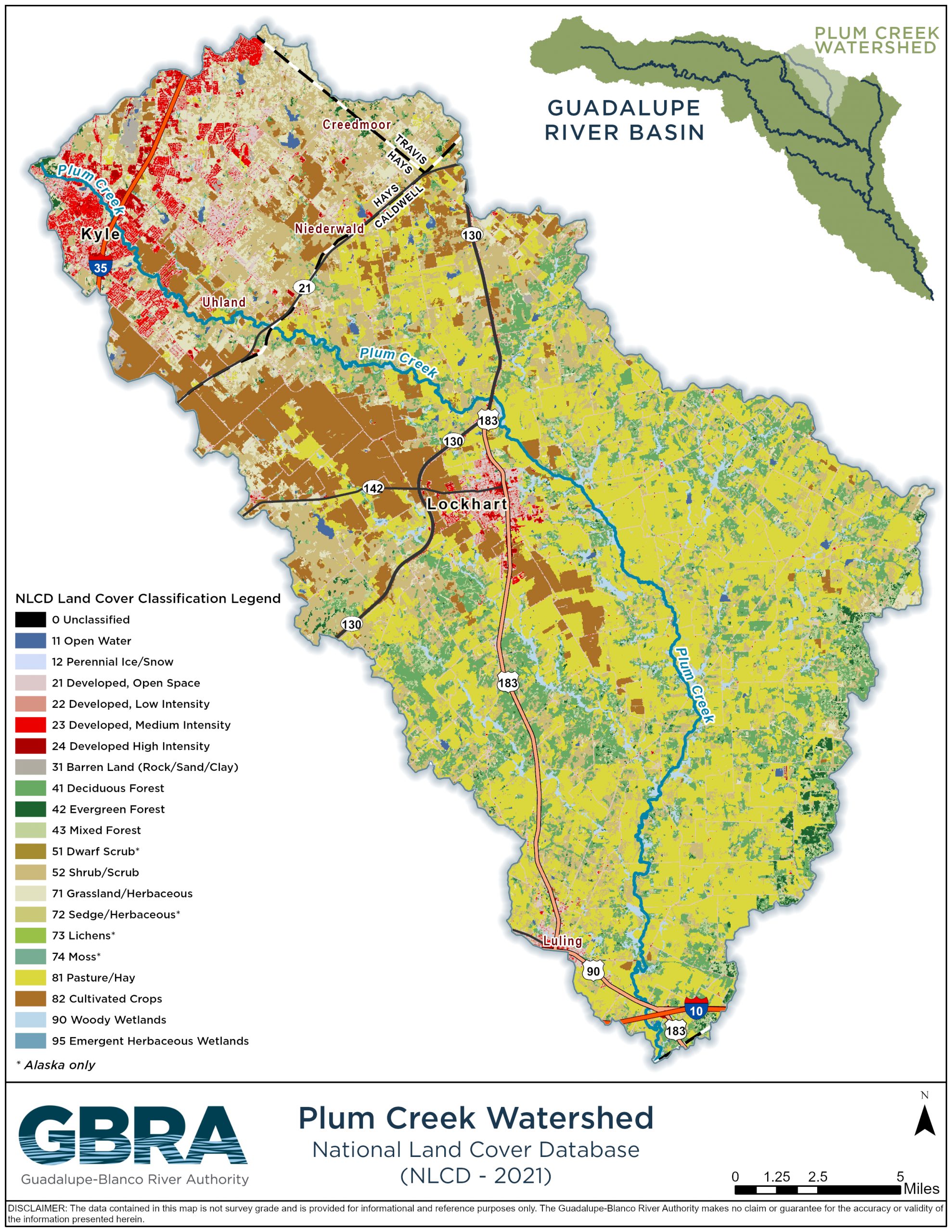
The natural landscape of the watershed is typical of Texas Blackland Prairies and East Central Texas Plains, and the Carrizo-Wilcox formation is a significant local aquifer, with the Edwards Aquifer underlying far northern parts of the watershed. Climate in the Plum Creek Watershed is considered semi-humid subtropical.
Plum Creek historically was shallow and intermittent, running dry in times of drought but flowing after heavy rainfall. Before urban development, Plum Creek above Lockhart ran dry almost every summer, as that portion of the creek was driven by rainfall and runoff. Below Lockhart, small springs that remain today flow throughout the year and feed Plum Creek.


